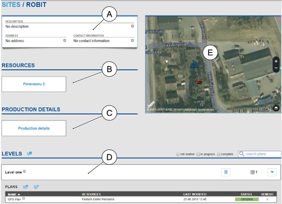
Open the selected drilling site by clicking its name in the Sites view.
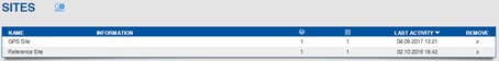
The Sites view consists of the following functions and features:
| UI area | Description |
|---|---|
| A | Site description, address and contact information |
| B | Resources used in the site (drilling rigs and other equipment) |
| C | Production details of the site |
| D | Levels defined for the drilling site, containing drilling plans. Tap on a level to view additional information, e.g. plans included in the level. |
The information in the Sites view can be edited by clicking the Edit icon  beside the information fields.